Estimated value, 2024
| Chokepoint | Estimated value | Of seaborne | Since 2019 (2019) |
|---|---|---|---|
| Strait of Malacca and Singapore | $3 trillion | 24.7% | +26.8% |
| Strait of Dover | $2.4 trillion | 19.9% | +18.6% |
| Strait of Gibraltar | $2.3 trillion | 19% | +5.3% |
| Cape of Good Hope | $2.3 trillion | 18.9% | +474.3% |
| Strait of Hormuz | $861.5 billion | 7% | +18.1% |
| Turkish Straits | $770.5 billion | 6.3% | +23.3% |
| Øresund | $666.7 billion | 5.4% | +26.2% |
| Panama Canal | $633 billion | 5.2% | +18.8% |
| Suez Canal | $471.6 billion | 3.9% | −73.8% |
| Bab-el-Mandeb Strait | $459.1 billion | 3.8% | −74.4% |
| Kiel Canal | $179.4 billion | 1.5% | +6% |
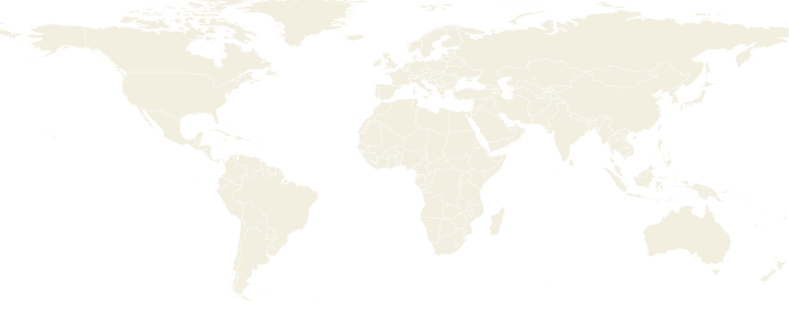
Where they are
Sources and method
Sources and licenses
- CEPII BACI · Licence Ouverte Etalab 2.0
- World Bank, Global Shipping Traffic Density · CC BY 4.0 (route network derived by this site)
- World Port Index (NGA) · Public domain (US Government work)
- Natural Earth · Public domain
- Kummu et al., gridded GDP · CC BY 4.0 (split between ports done by this site)
Methodology
We estimate the value crossing each chokepoint from CEPII BACI trade that travels by sea according to our mode heuristic, split between each country’s ports by where its GDP is generated and which coast is closest, and routed over our own sea network. It is an estimate, not a count of ships; it covers 99.9% of seaborne trade. Data up to 2024.